
Field survey
High-accuracy capture of boundaries and site features.
Survey · Subdivide · Merge
We provide topographic survey, land and unit subdivision/merging with high accuracy and documents ready for official procedures.
Overview
Every solid project starts with accurate survey data for boundaries, areas, and constraints.
We deliver clear outputs ready for drawings and official submissions.
The goal is reliable data designers, owners, and authorities can trust.
Who is it for?
Service components
High-accuracy capture of boundaries and site features.
Transactions prepared to regulatory requirements.
Survey plans and reports ready for authorities.
Data that feeds architectural and structural drawings directly.
How we work
01
Survey, subdivide, merge, or data update.
02
Survey executed to agreed accuracy standards.
03
Plans and schedules produced.
04
Files delivered with support for design or approval use.
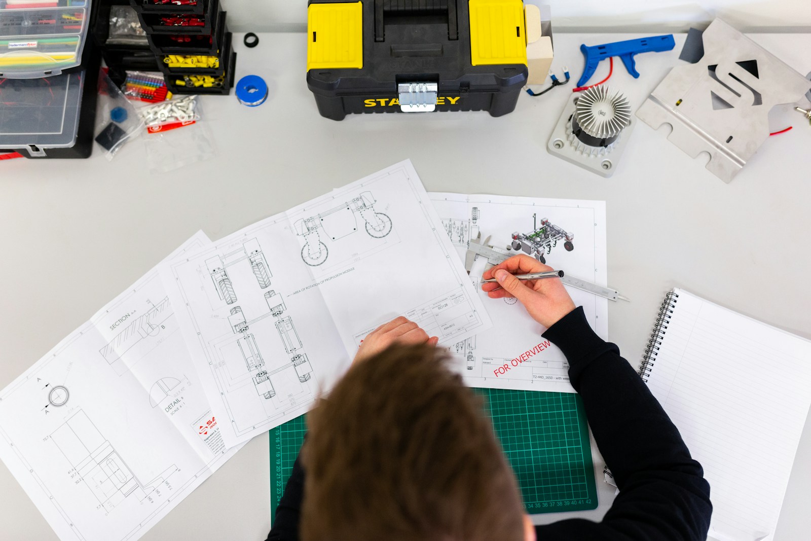
Why this service?
In most projects yes—it defines boundaries, levels, and constraints that affect design and approvals.
Yes, we provide land and unit subdivision/merging per approved requirements.
Common engineering and official formats based on the transaction need.
Related services

We complete municipal permits and approvals efficiently—from preparing files to following up with authorities until issuance.

Integrated designs from architectural plans to facades and interiors—aligned with engineering standards and the Saudi Building Code.
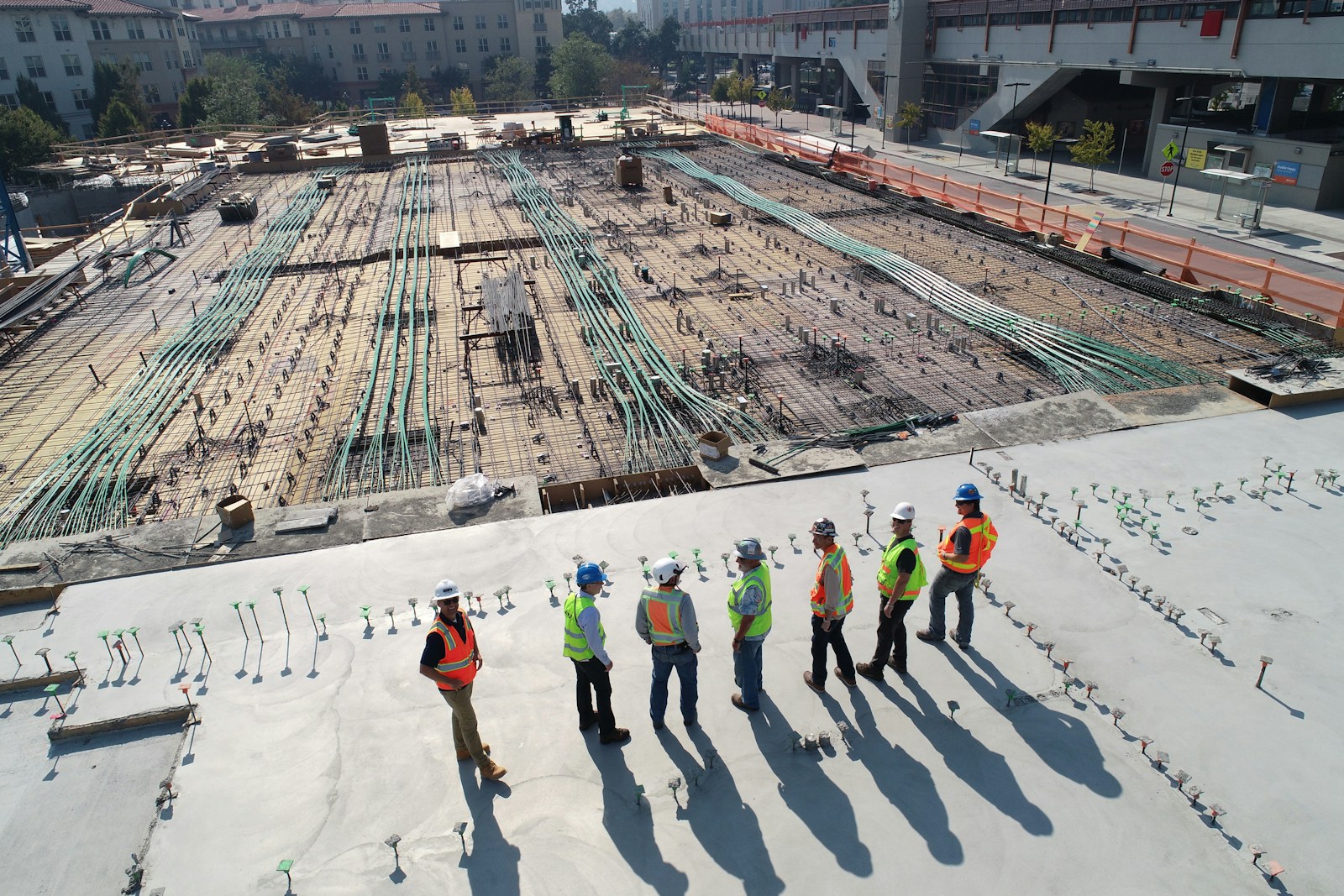
We supervise construction stages to match approved drawings and the Saudi Building Code, with quality and safety follow-up to completion.
Let us be your engineering partner from concept to approval.